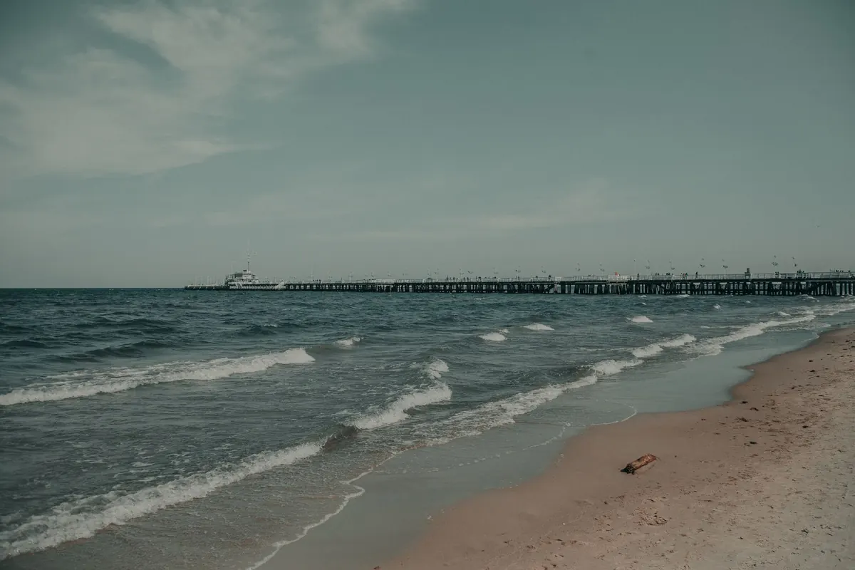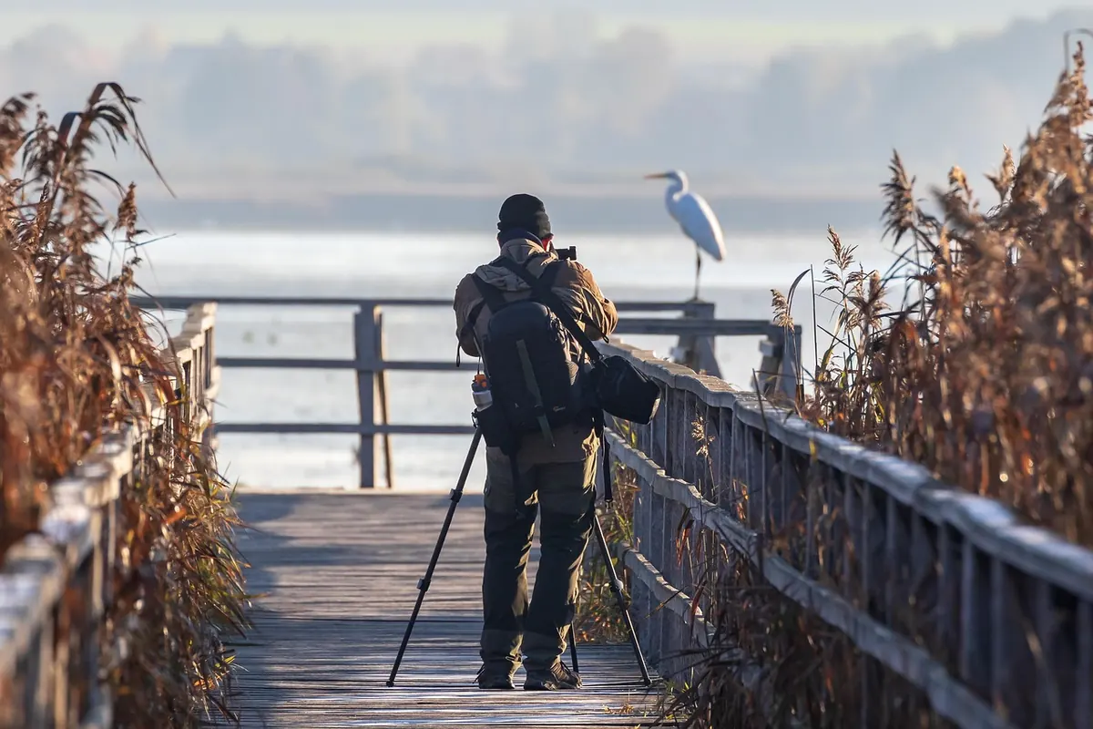
There are easier walks in Britain than the Norfolk Coast Path, but few as quietly rewarding. Around eighty-four miles of marsh, dune, chalk and shingle run from Hunstanton to Hopton-on-Sea, with the Peddars Way linking on at Holme next the Sea. The route is generally gentle and beautifully waymarked, which is exactly what lulls people into trouble. It isn't a mountain path, but it has its own rules: tides that move fast across flat ground, mud that seems friendly until it isn't, long stretches with nowhere to buy a sandwich, and a few sections that simply close at certain times of year. Most bad days here come down to a handful of avoidable mistakes. These are the ones worth knowing before you set out.
Treating tide times as a minor detail
This is the mistake that causes genuine emergencies. Norfolk's estuaries and harbours are shallow and the tide doesn't roll in politely; it spreads across sand and mud at walking pace and cuts off creeks, sandbars and whole sections of beach without any drama. The classic route between Thornham and Brancaster, across the harbours at Burnham Overy and Wells, and the stretch from Morston towards Blakeney all involve crossing areas that change completely between tides.
A few habits make this manageable:
- Check a tide table for the day and location before you leave, not the night before.
- Plan to cross tidal sections in the window either side of low water.
- Note the time of your latest safe return, not just your outward crossing.
- If the water is already in a creek you need to cross, turn around. Walking the long way round is a minor inconvenience; being cut off is not.
- Ask at a local café, harbour office or shop if you're unsure. People who live there know the pattern better than any app.
Assuming the path is dry
The Norfolk Coast Path gets muddy, and not in a charming way. Winter and early spring are worst, but a wet summer can leave sections between Holme and Thornham, and along the inland edges of the salt marshes, churned and slick. The problem isn't slipping; it's what happens when walkers try to dodge the mud and end up on the flat, glistening surface beside the path. That's tidal mud, and it behaves less like ground and more like a trap. People have sunk thigh-deep within a few steps.
Boots with proper grip, gaiters if you dislike wet trousers, and a willingness to walk straight through the muddy bits are all you need. Never test an unmarked surface to get around a puddle. If someone in the group does get stuck, don't pull hard from above; call for help and keep them still.
Planning by distance instead of by time
Eighty-four miles sounds like a week's walk, and for some people it is. For most, it's longer. The coast path mixes hard surfaces with soft sand, shingle, boardwalk and muddy field edges, and a mile of shingle near Hunstanton takes considerably longer than a mile of tarmac.
The bigger trap is planning the whole route around fixed accommodation and then discovering that day four is thirty per cent slower than day one. Build in slack. If you're walking the full trail, aim for shorter days in the first half and give yourself an easier final day rather than a punishing one. If you're doing a day section, pick a distance you'd comfortably walk on a road and cut it by a quarter.
Ignoring seasonal closures and diversions
Parts of this path move. Coastal erosion has forced reroutes in places, and some areas close to protect nesting birds and seals at certain times of year — Blakeney Point and the beach at Holme are the obvious examples. Other sections can be diverted by high tides, storm damage or engineering work.
Check the National Trail website and local notices before a long-planned walk, especially in spring and early summer. If a section you'd set your heart on is closed, don't invent a workaround along an estuary edge. Take the signed diversion. It exists for a reason.
Walking out with too little water
Long stretches of the path have nowhere to refill and nowhere to buy anything. The marshes between Brancaster and Wells, and the quieter eastern sections around Horsey and Winterton, can leave you several hours from a shop. On a warm, breezy day with no shade, that catches people out.
Carry more than you think you need, fill up every chance you get in a village or pub, and don't drink from creeks or dykes. If you're walking in hot weather and feel headachy, dizzy or strangely cold, stop, find shade and get fluids in. Anyone with a heart condition, on medication that affects hydration, or walking with young children should check with a GP or pharmacist about what's sensible for them before a long day out.
Assuming the path is always obvious
For the most part, waymarking is excellent. But on wide beaches at low tide, across dune systems, and through some of the larger marsh crossings, the line can be ambiguous. Footprints go in several directions and not all of them are the route.
Carry a paper map or an offline map on your phone, with the route downloaded before you go. Signal is patchy in places, and phone batteries die faster in cold wind than anyone expects. A power bank takes up almost no room.
Walking the wrong season for what you want
The coast path is a year-round route, but it changes character completely. Summer gives you long light, busy villages and the best chance of dry ground. Winter gives you empty marshes, huge skies and spectacular birdlife, plus short days, closed facilities and deep mud. Autumn and spring often hit the sweet spot.
Match your expectations to the season rather than fighting it. A short winter day ending at a warm pub is a better plan than a twenty-mile ambition in fading light.
Practical notes before you go
Check the tide table and the trail website the day before. Carry water, food, a map that works without signal, and footwear you don't mind ruining. Tell someone your route and expected finish time. Start earlier than feels necessary, especially in winter, and treat every estuary crossing as something to be done well before the water turns. Do those few things and the Norfolk Coast Path rewards you with some of the finest lowland walking in the country — quiet, strange, and endlessly worth the effort.
Photo: andi_peh / Pixabay